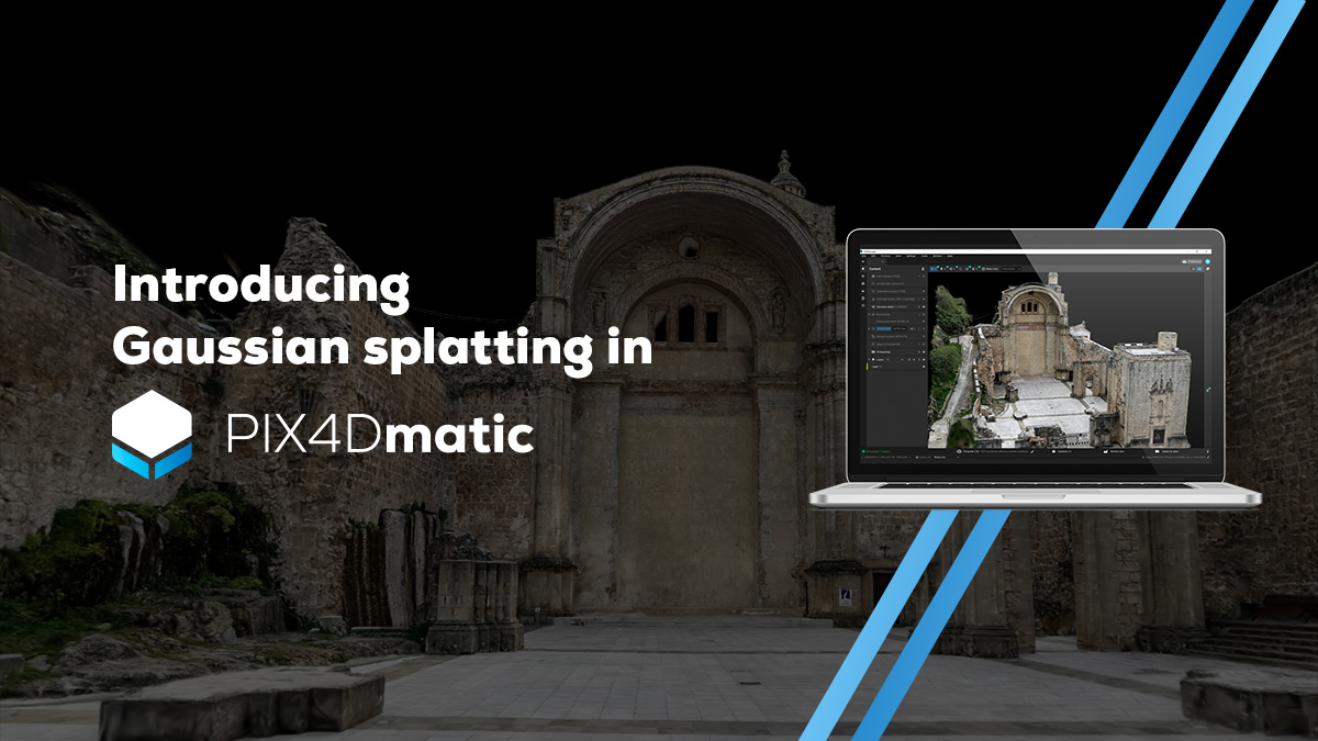
PIX4D just shipped Gaussian Splatting inside PIX4Dmatic Pro. If that sentence reads like a routine release note, you are missing the punchline: this is the largest installed base in professional surveying and mapping quietly declaring 3DGS production-ready. Not a research demo. Not a toy plugin. A regulatory-compliant deliverable.
The Story
For two years, Gaussian Splatting has been the darling of the visual effects, AR, and indie capture crowd. Beautiful, fast, view-dependent — and politely ignored by the surveyors who actually get paid to deliver volumes, cross-sections, and topo maps that hold up in court.
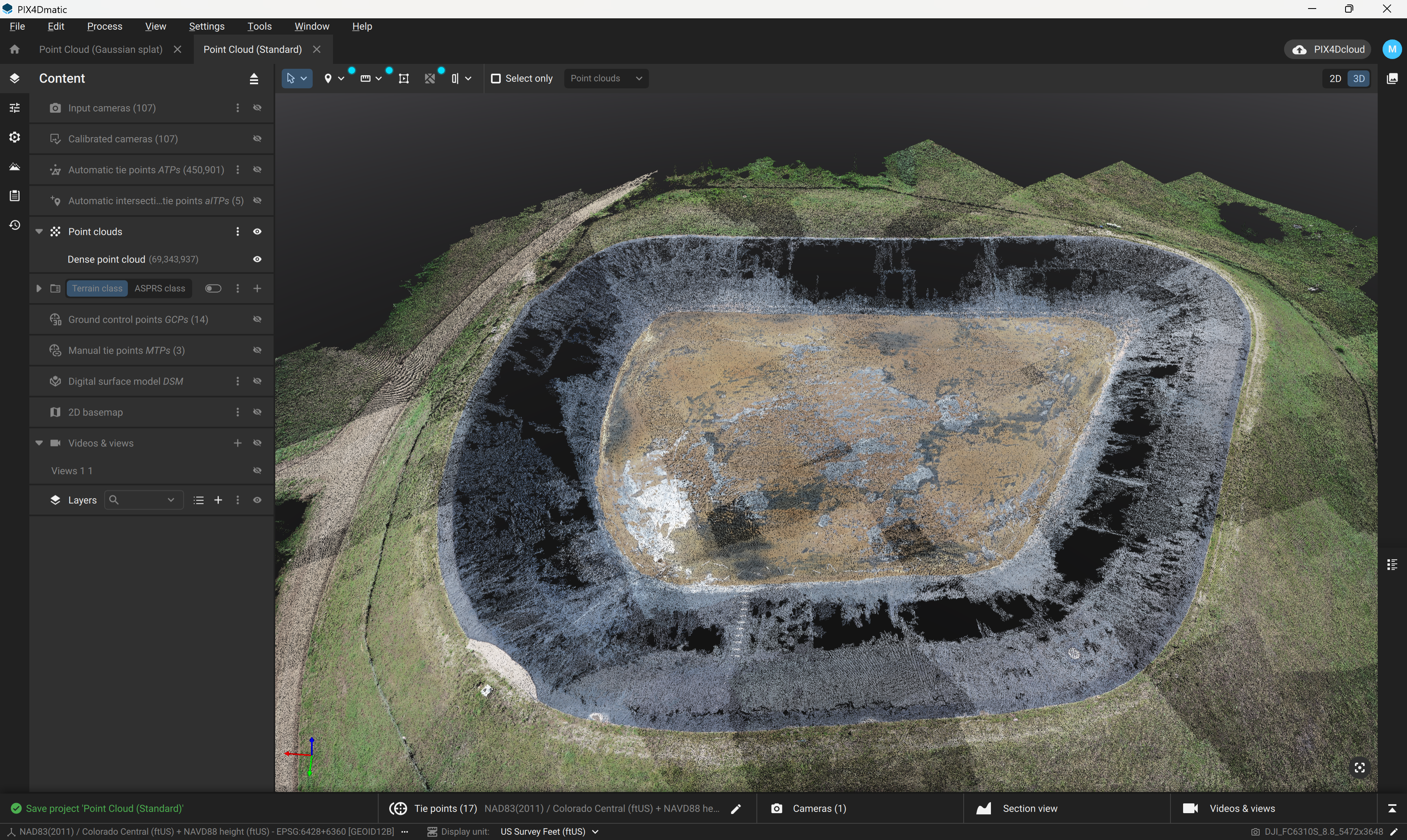
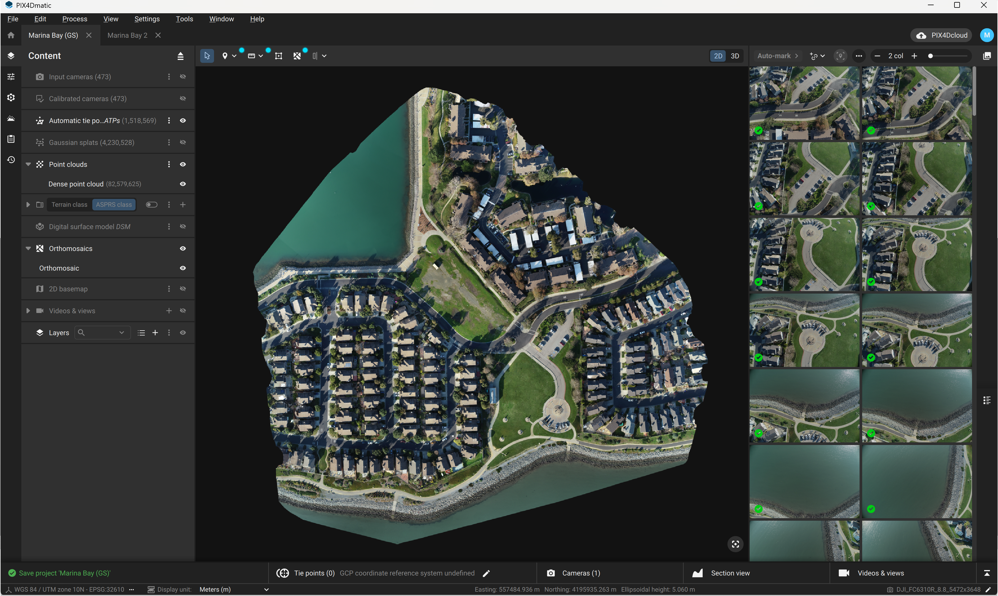
That ended on May 11, 2026. PIX4D — the Swiss photogrammetry company whose software runs on most of the drones surveying highways, mines, quarries, and disaster zones on this planet — pushed Gaussian Splatting into PIX4Dmatic, the desktop engine pros use for georeferenced reconstruction at scale. It is the same workflow as before (PIX4Dcatch on the phone, PIX4Dcloud or local processing, PIX4Dmatic on the desktop) — except the densification step is now backed by 3DGS, and every downstream product gets better.
The headline numbers PIX4D is showing in its release post:
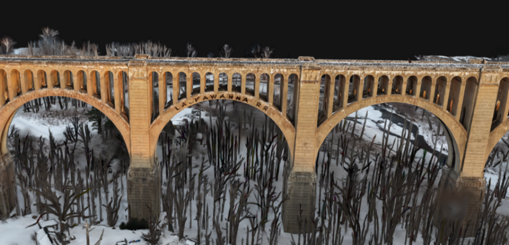
- Denser, more evenly distributed point clouds — fewer holes on thin structures, vegetation, reflective surfaces, and water edges.
- Stable, predictable mesh triangulation — the part that used to make surveyors swear when a railing or a power line dissolved into noise.
- Cleaner orthomosaics — fewer ghosts and seams around water and glass.
- A new Surface Comparison tool for volumetric analysis between two surveys (think: stockpile change, earthworks monitoring, slope movement).
- GPU-accelerated on modern NVIDIA cards, local or in PIX4Dcloud.
Why You Should Care
Splats have been winning the eye candy war for a while. They were still losing the industry war. Every time a creative-tech blog (us included) shouted “3DGS just landed in Blender / Unreal / Cinema 4D,” there was a parallel reality where the actual money in 3D capture — surveying, AEC, inspection, geospatial — kept buying classic point clouds because that is what insurance, regulators, and engineering review cycles will accept.
PIX4D crossing this line matters for three reasons:
- It legitimizes 3DGS as a measurement primitive, not just a rendering trick. PIX4D’s customers ship deliverables that get stamped by a licensed surveyor. If Gaussian Splatting can drive those outputs, the “but is it metrologically sound?” objection effectively dies in 2026.
- It collapses a fork in the pipeline. Until now, teams who wanted both a pretty splat and a usable mesh ran two captures or two pipelines (Polycam, KIRI, Luma on one side; PIX4D, RealityCapture, Agisoft on the other). One ecosystem. One georeferenced source of truth.
- It pulls splats into the GIS stack. PIX4Dengine SDK integration is on the roadmap — that means automated, large-scale splat processing as a backend service. The same plumbing already used to build national digital twins.
Quote from PIX4D’s own release post: “Reconstruction quality is aligned across platforms, point cloud behavior is more predictable, surface generation is more stable, and data fusion becomes more controlled.” Translation, from cautious Swiss-engineering English into plain language: the splat-based densifier produces fewer surprises than the classical pipeline. That is the bar.
Try It / Follow Them
- Read the release post: Gaussian splatting in PIX4Dmatic — comparison images, workflow shots, and the surface comparison tool walkthrough.
- Get hands-on: Gaussian Splatting is gated to PIX4Dmatic Pro. There is a free trial; existing PIX4Dmatic licensees can upgrade. PIX4Dcatch (the iPhone/Android capture app) feeds straight into the workflow.
- For the splat-curious without a drone budget: capture a building façade with PIX4Dcatch on an iPhone with LiDAR, process in PIX4Dcloud, open in PIX4Dmatic. You are now running the same pipeline a survey crew uses.
- Background reading: Michael Rubloff’s take on Radiance Fields — short, sharp, and confirms what we just argued: this is “the latest company with one of the largest installed bases in professional surveying and mapping” calling 3DGS production-ready.
IK3D Lab Take
Six months ago we were arguing whether Gaussian Splatting would ever escape the demo reel. In April, OpenUSD and glTF made splats an official asset type. Two weeks ago Cesium streamed 110 million of them through a browser. Adobe smuggled them into Photoshop. Now PIX4D — the least excitable, most measurement-obsessed company in the room — is shipping splats as the densifier inside an engineering pipeline.
The interesting question is no longer “is 3DGS legit?” It is: who is left running classical photogrammetry as their primary densifier in twelve months? Our bet, watching this roadmap: nobody who actually has a choice. Splats won the surveying argument the day PIX4D blessed them. The rest is migration timelines and stubborn license renewals.
If you build for architects, AEC, inspection, or anything where someone needs the model to be true as well as pretty — start treating splats as a first-class measurement primitive, not a render-time garnish. PIX4D just removed your excuse.


