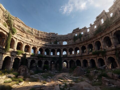
Esri just shipped cloud Gaussian Splat generation inside Site Scan for ArcGIS. Fly the drone, hit a button, ten thousand images per mission get cooked into a navigable splat layer streamed straight into ArcGIS Pro and the browser. The company that quietly powers the bulk of the world’s mapping infrastructure now treats radiance fields like a first-class deliverable.

The Story
On May 15 2026, Esri rolled out the Q2 release of Site Scan for ArcGIS — and buried in the changelog was the line every reality-capture nerd has been waiting for: cloud-based Gaussian Splat generation, native to the pipeline. No CUDA box under your desk. No COLMAP scripts. No Postshot license. Drone imagery goes up, splats come down as 3D Tiles, published to ArcGIS Online, streamable in any browser that can render glTF.
Two flavors at launch. Named user licenses get 5,000 images or 150 gigapixels per mission. Custom Subscription accounts double that to 10,000 images / 300 gigapixels. For context: a typical mid-size construction site survey lands around 1,200–2,500 images. A 10K cap means a whole industrial park, in one job, in one splat layer.
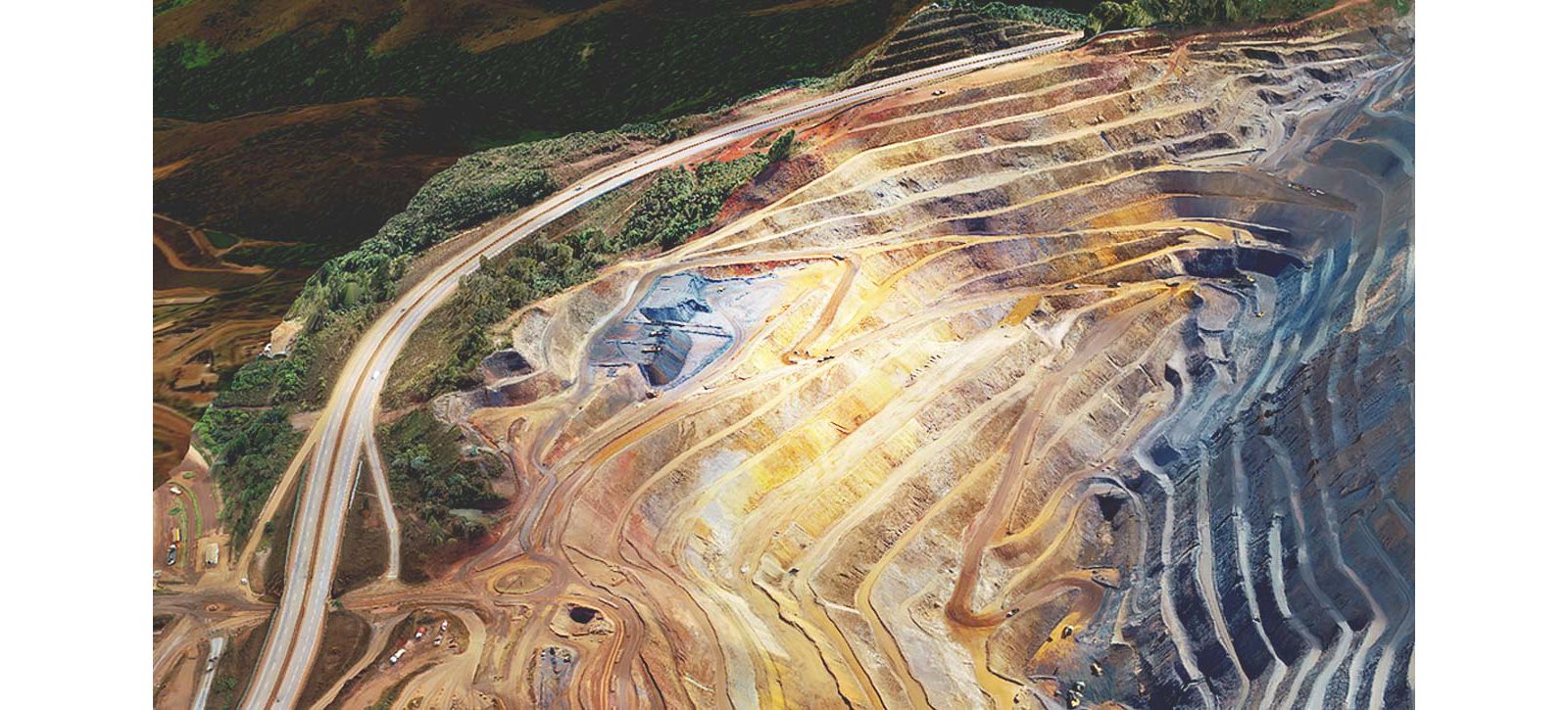
And it slots cleanly into the rest of the stack. The companion ArcGIS Reality update — same day, same release wave — bumps splat fidelity, adds automatic Ground Control Point detection (no more manual marker tagging across hundreds of photos), and turns on Cartosat-2/3 satellite ingestion at 25 cm resolution. The example scene Esri leans on is the Te Awamako Substation in Otago, New Zealand — chain-link fences, conductor lines, lattice steel. The classics that destroy mesh-based photogrammetry. Splats just shrug.
The output isn’t a PLY for you to import. It’s a 3D Tiles JSON / 3TZ package with the ESRI_crs and 3DTILES_content_gltf extensions, geo-referenced, LOD-streamed. In plain English: it acts like map tiles. Pan, zoom, fly through. Cesium-style streaming, baked in at the platform level.
Why You Should Care
Look at the receipts from the last six weeks on this very blog. Cesium streamed 110M splats like map tiles (April 30). PIX4Dmatic Pro called 3DGS production-ready for photogrammetry (May 14). OpenUSD and glTF made splats an official format (March 27). Houdini-gsplat landed in Solaris yesterday (May 17). Postshot shoved a VR headset inside the splat editor (May 16).
What’s different here? Esri owns the map. Government, utilities, AEC, defense, public works — the people who decide whether a new technique is real or just a SIGGRAPH demo — most of them buy ArcGIS. When Esri ships something as a checkbox in Site Scan, it’s not a curiosity anymore. It’s a billable line item on a survey contract. The Engineering News-Record literally ran the headline last quarter: “Esri Bringing Gaussian Splats, More AI Into Its ArcGIS Mapping Tools.” That’s the institutional press of the construction industry calling it.

One catch: the cloud splat generation is restricted to Custom Subscription accounts, and European customers requiring EU hosting are excluded at launch — Esri’s running this on AWS regions that don’t satisfy EU data-residency requirements. If you’re in France, Germany, the Nordics under strict procurement rules, you’re waiting. Esri also hasn’t published per-mission compute pricing beyond the image caps, so total cost-per-splat is still a phone call.
Try It / Follow Them
- Read the Q2 2026 release notes — What’s New in Site Scan for ArcGIS (Esri ArcGIS Blog)
- Companion update — ArcGIS Reality May 2026 — splat fidelity, auto GCPs, Cartosat
- How-to from Esri — How to Create the Best Gaussian Splats in ArcGIS Reality
- Reality check from the trade press — AEC Magazine — Introducing Gaussian Splats for AEC
- Workflow docs — Create Gaussian Splat from Reality Capture
IK3D Lab Take
The interesting story is no longer “can you make a splat?” Every photogrammetry tool can. The story is “who streams the splat to a stakeholder who isn’t a 3D nerd?” And the answer the industry is converging on is depressingly conservative: 3D Tiles, glTF, hosted in the same platforms that already host every map layer in production. Esri, Cesium, Mapbox-shaped infrastructure. The OpenUSD camp claims the asset-pipeline side, the 3D Tiles camp claims the streaming side, and splats happen to be the payload that finally makes both worth caring about for non-graphics people.
For our world — architects, vis artists, set designers, anyone who’s ever fought a client over a fly-through — this is the unglamorous win. The splat your team captures on a Friday can be opened by the project manager in a browser tab on Monday without explaining what a PLY is. That’s the bar. We just crossed it on the company that ships maps to literal governments.
Splats are now a button. The next twelve months are about who builds the most clickable workflow around the button, not who has the prettiest renderer.